Historical context
A country house seven kilometres miles south of Chipping Norton, built c. 1808 for the Gorge family.
Walled Kitchen Garden
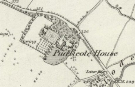
This rectangular garden of 0.4 ha lies 10 metres north-west of the house, with the long axis facing south-west. The 1st edn OS (1881) map shows two enclosures across the north-west end; a frameyard to the south and a possible animal yard with animal houses and pens to the north. In the main area of the garden were perimeter paths, one of which extended into the frameyard, and another path divided the main garden across the middle. An orchard lay to the south and wooded areas to the north.
The 2nd edn OS (1899) map shows a glasshouse in the frameyard and another inside the main garden against the north-west wall. There were also four small buildings added to the outside walls to the south-west and north-west. By the time of the 3rd edn (1922) map, only part of the glasshouse in the frameyard remained, and also the buildings in the animal yard.
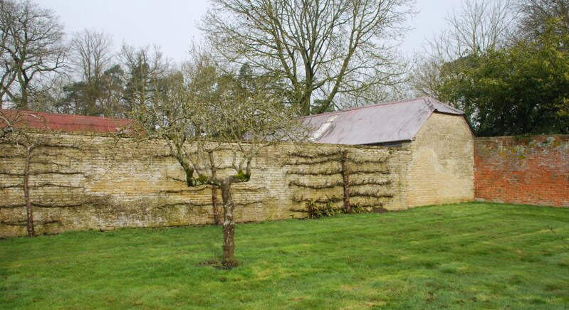
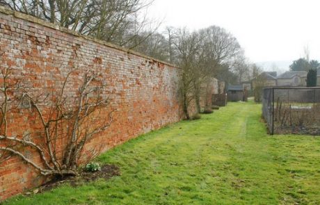
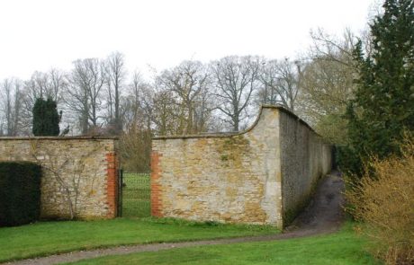
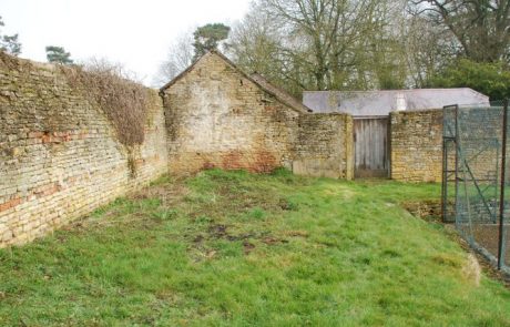
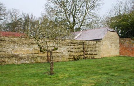
The exterior walls are of local Cotswold stone, in coursed rubble stone with dressed stone quoins, and brick surrounds to openings. Interior walls are similar except the long brick wall facing south-west. A small part of the original frameyard enclosure wall survives. This, and the buildings in the animal yard, are coursed rubble stone.
Current use
Ornamental plantings with some vegetable beds, soft fruit cages, and trained fruit trees on inner walls. Otherwise laid to lawn, with a tennis court and swimming pool.
Special features
None
Designation status
None for the garden
Degree of completeness
The frameyard enclosure wall and buildings have been demolished to make way for the tennis court. The path structure no longer survives although some paths are visible beneath grassed areas. Entrances may have been altered.
Ownership and access
Privately owned. No access.
Sources of information
Unpublished site survey by volunteers with Oxfordshire Gardens Trust, June 2013
Map reproduced by permission of National Library of Scotland – Maps
Name of district
West Oxfordshire
Grid reference
SP 31247 20470

