Historical context
Broughton Hall lies in the hamlet of Broughton Poggs which adjoins the village of Filkins, five kilometres south-west of Carterton. The former manor house, said to originate from the 16th century, was altered in the 17th and early 18th centuries, with further alterations and extensions circa 1800 and later. Now divided into separate residences.
Walled Kitchen Garden
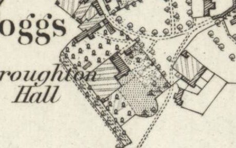
The 1st edn OS (1878) map shows the house surrounded by a series of gardens, some probably formal and ornamental, others possibly orchards. Joining the south-west of the house was a rectangular kitchen garden with perimeter paths, of area 0.14 ha.
The 2nd edn OS (1899) map shows a glasshouse attached to the north-west inner wall. By the 3rd edn OS (1921) map, the glasshouse had been removed but two were placed in an adjoining rectangular garden to the north-west. Another glasshouse is shown attached to a building to the north.
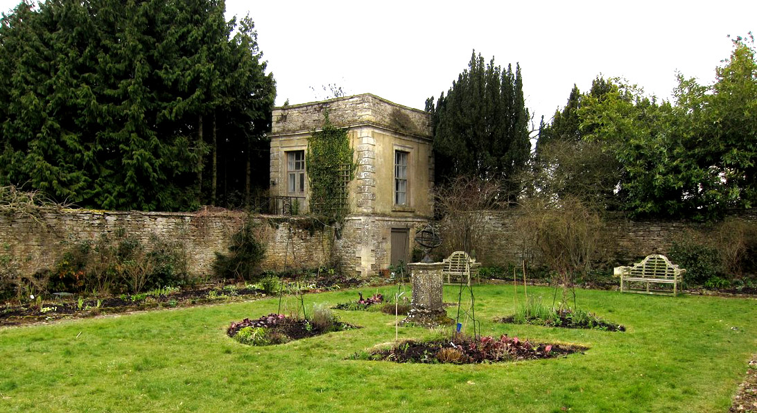
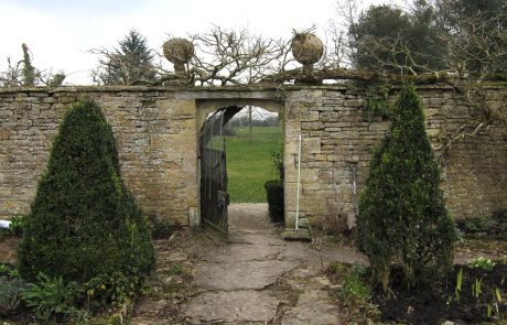
Walls are squared and coursed limestone with stone copings, built circa 1800. The south-west wall continues to the north and south in rubble stone, this forming the north east side of Lady’s Walk. There are gateways with a segmental ashlar arch and keystone in both the south-east and the south-west walls of the kitchen garden. Built into the south-east wall at the south corner is a small square gazebo in two storeys built circa 1800. It is made of coursed rubble limestone with ashlar dressings and roughcast upper storey. Access to the ground level storage space is from the kitchen garden but the upper storey is accessed from outside the kitchen garden.
Current use
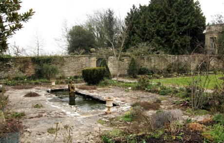
Ornamental domestic garden divided into quadrants by yew and box hedging. Limestone flagstones and grassed areas separate flower beds, a central sundial, and three small ponds.
Special features
Gazebo
Designation status
None for the garden itself but the gazebo and attached walls to the south west of the house and along Lady’s walk are Grade II listed. The house is also Grade II listed, and also a ha-ha that lies 50 metres to the south-east of the house.
Degree of completeness
Walls are generally intact but there is little evidence of the former kitchen garden.
Ownership and access
Privately owned. Occasionally open through the National Gardens Scheme.
Sources of information
Unpublished site survey by volunteers with Oxfordshire Gardens Trust, March 2013
Map reproduced by permission of National Library of Scotland – Maps
Name of district
West Oxfordshire
Grid reference
SP 423383 203744

